Tuesday Evening Zen
Posted on September 13th, 2011 in Uncategorized | 3 Comments »

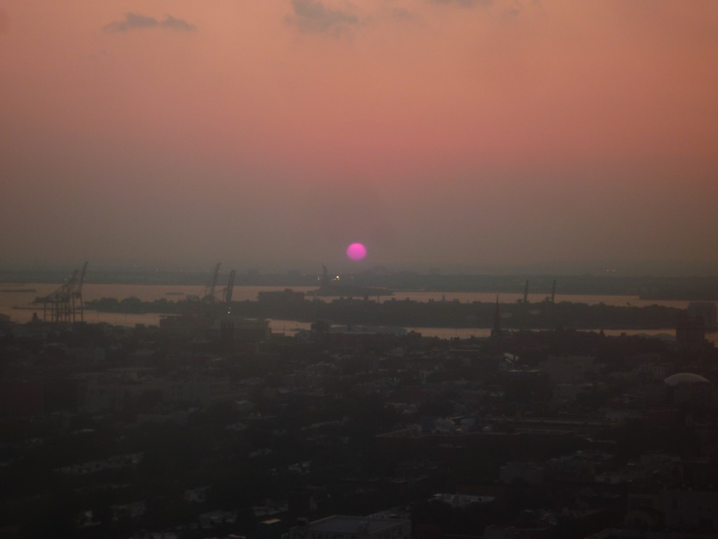
The view from my apartment (sunset over Brooklyn)

The view from my apartment (sunset over Brooklyn)
Copyright © 2011 Shots in the Dark
ColdBlue v1.0 — A theme by WebRevolutionary
3 Responses
9/13/2011 10:27 pm
Wow! Beautiful, and there’s the Statue of Liberty in the distance, looking west. I think. Beyond that would be Manhattan? Then there should be lights, or are those shadows of tall buildings in the background? Or am I looking at things backwards? Upside down? Probably, have very poor sense of direction, but from the flood map I watched when Irene hit, that would be my guess. Until then, I had never thought of Brooklyn as coastal area.
9/14/2011 9:05 am
Nope-Manhattan’s to the North.
9/14/2011 11:28 am
Right. Had to look at a map again to figure that out. So that would be Liberty State Park in the distance across the water, (and some other stuff), Governor’s Island in between the Statue and Brooklyn. (Governor’s Island looks kind of cluttered with something. I didn’t know there was such a thing as a Governor’s Island.) Looks like you need a helicopter to get around anyway.